


The WISE Image Atlas is comprised of 18,240 4095x4095 pix @1.375"/pix FITS format image sets. One image set is produced for each Atlas Tile. Each image set consists of:
WISE Atlas Images are in the Flexible Image Transport System (FITS) format and follow the World Coordinate System (WCS) standard for astronomical image data.
Atlas Image products have filenames as follows:
where BAND = 1, 2, 3, or 4, and COADDID is a unique identification string pertaining to the sky footprint (see II.2.a). These are variables that match the values of keywords with the same name in FITS headers. The WISE Atlas Image FITS header content is described in II.3.b.
Several of the WISE All-Sky Release Ancillary Products provide additional information about the WISE Atlas Image sets. The Atlas Metadata Table contains much of the Atlas Image header content, as well as derived statistical and quality assessment information pertaining to both the Atlas Images and extracted source lists for each Atlas Tile. The Atlas Image Frame Cross Reference Table contains a listing of all of the individual Single-exposure image frames that were used in the construction of each Atlas Image in each band. These ancillary tables can be queried using the IRSA Gator catalog search engine.
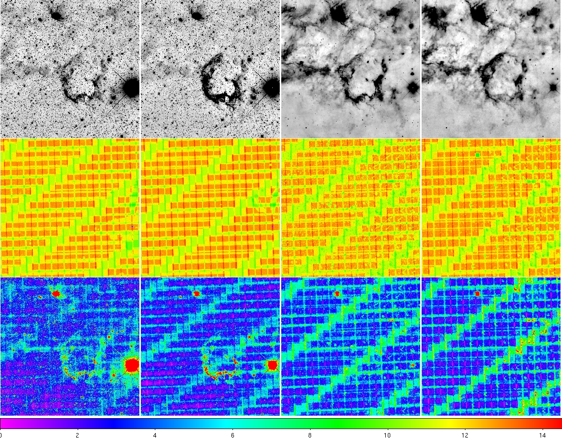 |
| Figure 1 - (top row) 3.4, 4.6, 12,
22 μm intensity images, (center row) depth-of-coverage maps, and (bottom row) uncertainty maps for the Atlas Tile 1253m425_ab41 that contains the Puppis A supernova remnant. The color scale on the bottom of the picture refers to the depth-of-coverage maps. |
Last update: 2012 March 15