
| Atlas Image Tiling Geometry | |
We present the tiling geometry to represent the layout of
Atlas Image (coadd) footprints over the sky.
A script "TileWISEsky" was written which
takes as input a linear (square) tile size, a pixel scale, and
a minimum linear overlap between any two adjacent tiles. It generates
the equatorial and ecliptic coordinates of the tile centers and corners,
and their corresponding x, y, z coordinates on a unit sphere.
The position angles of all tiles are zero, i.e., a vector from the center of
each tile in the +Y-axis direction points to equatorial north.
The tiles are optimally arranged in separate iso-declination bands.
Example coverages at an equatorial pole and on the equator are shown below.
 Number of tiles (footprints) on sky = 18240
 Number of iso-declination bands = 119
 Storage assuming 4 Bytes/pixel, 12 coadd products/tile = 14.69 TB (uncompressed)
 Input pixel size = 1.375000 arcsec/pixel
 Input linear tile size = 4096 pixels = 1.564444 deg
 Input linear minimum tile overlap = 180.000000 arcsec
 Position metadata: coadd_layout-a.tbl
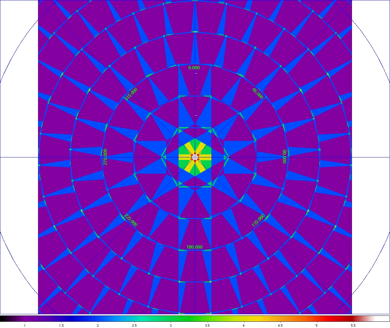 |
| Figure 1 - Mosaic of WISE Atlas Image tiles inside a declination band of ~|82.4°| (=5th band from the center). This mosaic can be downloaded in FITS format here. Click on panel to enlarge. |
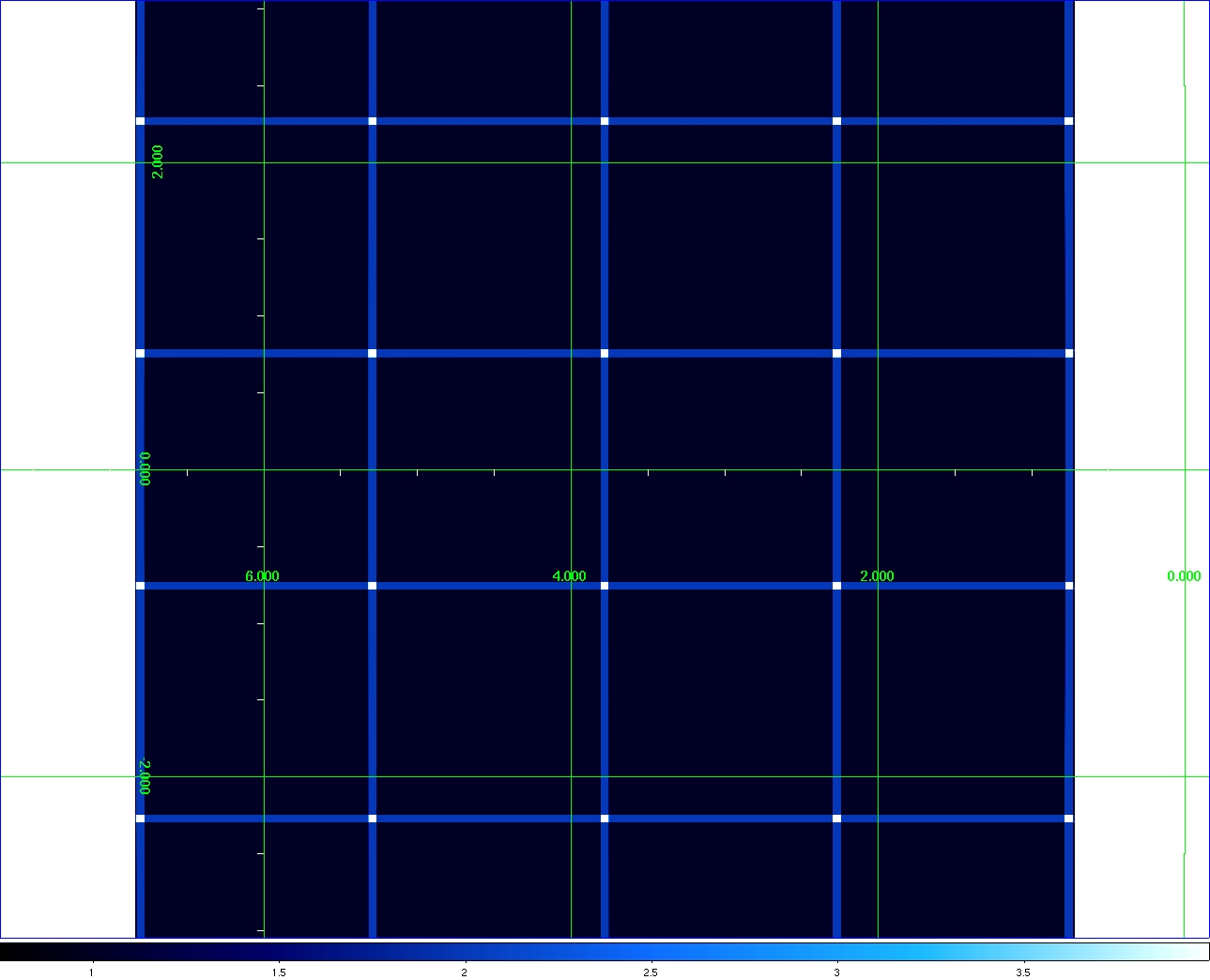 |
| Figure 2 - Mosaic of WISE Atlas Image tiles using same sizes/scales as in Figure 1 but on the celestial equator. Mosaic spans ~ 6° × 6°. This can be downloaded in FITS format here. Click on panel to enlarge. |